![[ICO]](/icons/blank.gif) | Name | Last modified | Size | Description |
|---|
|
|---|
![[PARENTDIR]](/icons/back.gif) | Parent Directory | | - | |
![[DIR]](/icons/folder.gif) | _vti_cnf/ | 2021-08-23 13:52 | - | |
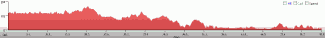
![[IMG]](/icons/image2.gif) | D1_elevation_profile.gif | 2010-09-29 10:50 | 1.0K | |
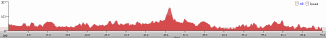
| D2_elevation_profile.gif | 2010-09-29 10:49 | 1.3K | |
| D4_elevation_profile.gif | 2010-09-29 10:50 | 1.3K | |
| Dungog, Stroud, Dungog, D3_elev_profile.gif | 2010-09-29 10:53 | 1.4K | |
![[TXT]](/icons/text.gif) | route_maps_and_elevation_profiles.htm | 2013-08-21 21:02 | 4.4K | |
| Dungog, Stroud, Dungog, East Gresford, Paterson_102km_elev_profile.gif | 2010-09-29 10:31 | 7.8K | |
| Berowra_Wollombi_99km_elevation_profile.gif | 2010-09-29 10:47 | 9.0K | |
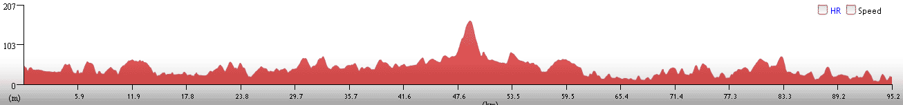
| Paterson_to_Wyong_95km_elevation_profile.gif | 2010-09-29 10:31 | 9.6K | |
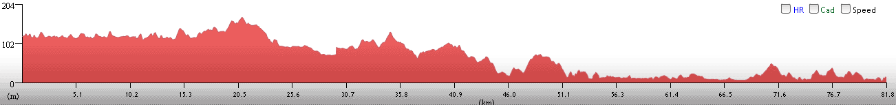
| Wollombi_to_Paterson_82km_elevation_profile.gif | 2010-09-29 10:31 | 9.6K | |
![[ ]](/icons/unknown.gif) | WS_FTP.LOG | 2011-10-28 12:20 | 17K | |
| D3_Dungog, Stroud, Dungog, East Gresford, Paterson_102km.gif | 2010-09-29 10:32 | 67K | |
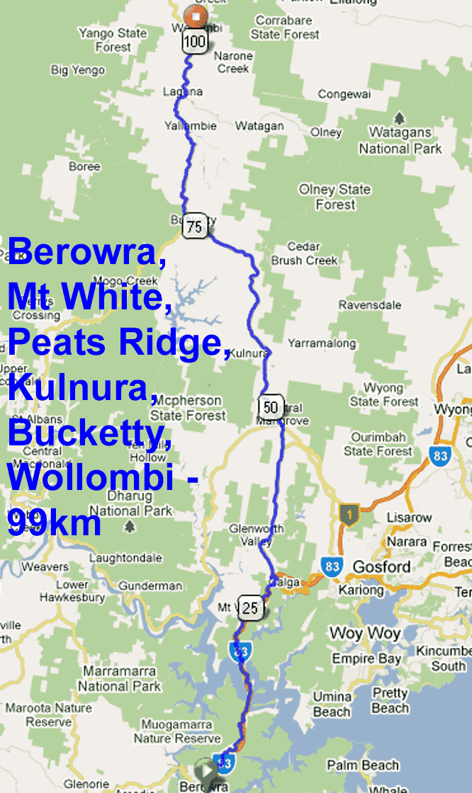
| Berowra_Wollombi_99km.gif | 2010-09-29 10:45 | 119K | |
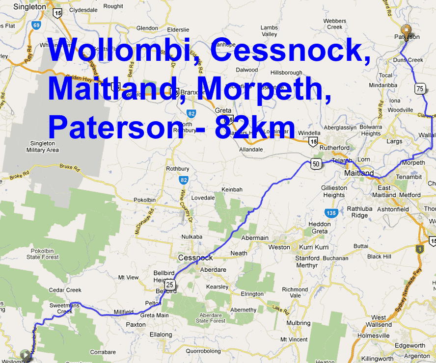
| D2_Wollombi_to_Paterson_82km.gif | 2010-09-29 10:32 | 122K | |
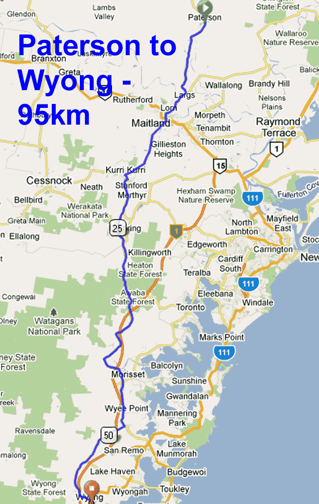
| D4_Paterson_to_Wyong_95km.gif | 2010-09-29 10:33 | 122K | |
|
|---|